Work with the Map
Mobile apps use Esri web maps and/or Mobile Map Packages (.mmpk) that make it possible to work either online or offline. Web maps are designed to collect detailed data about features on the map.
In most cases, web maps consist of multiple layers with each layer containing features of a particular kind, for example, a layer for park trees, or a layer for hydrants. On some web maps, each different type of feature is given a different symbol, for example, airports ![]() , schools
, schools ![]() , park trees
, park trees ![]() or hydrants
or hydrants ![]() . The symbols make it easier to identify different feature types on a complex map.
. The symbols make it easier to identify different feature types on a complex map.
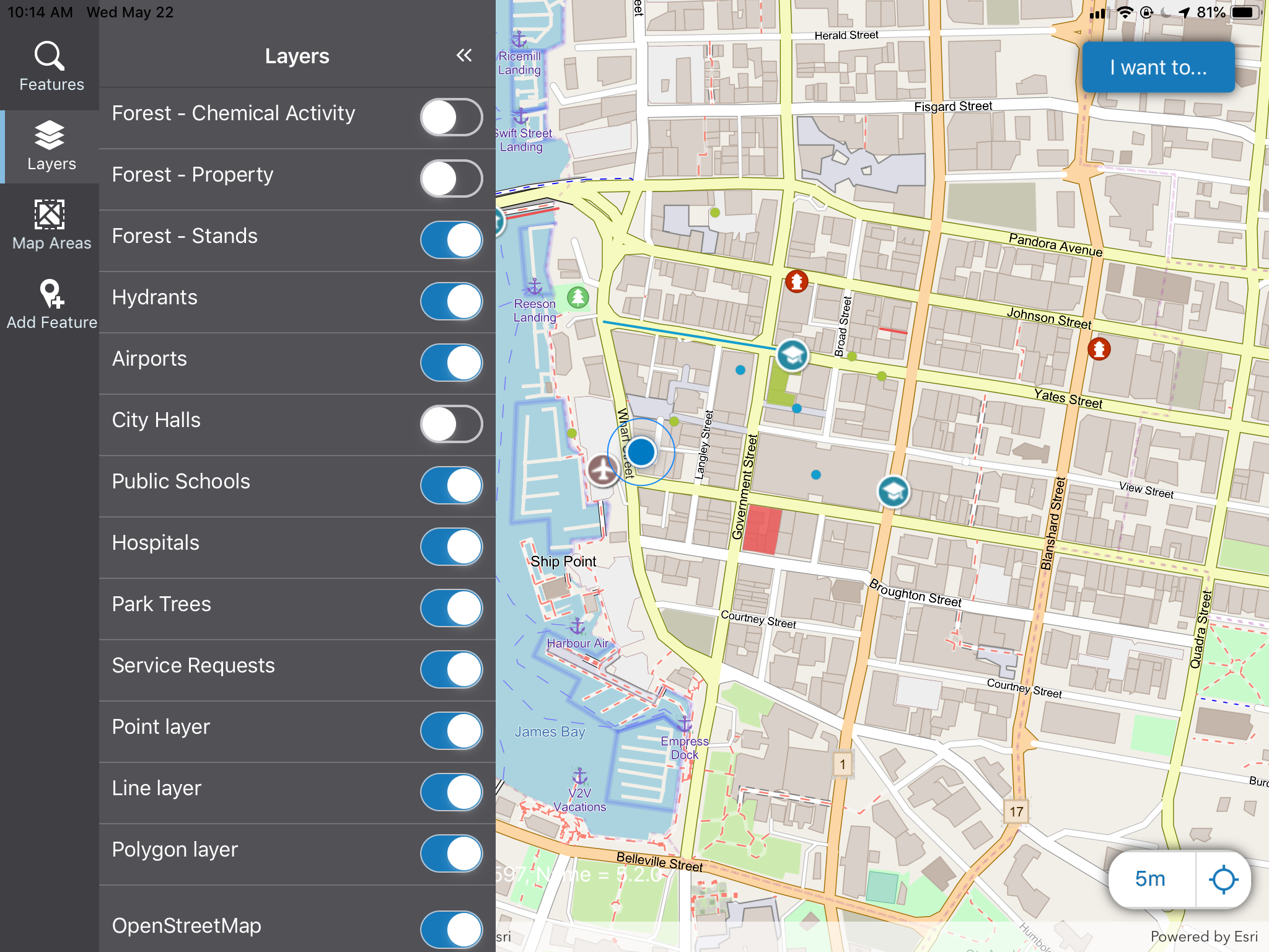
A map with multiple layers and feature types
Turn Layers On or Off
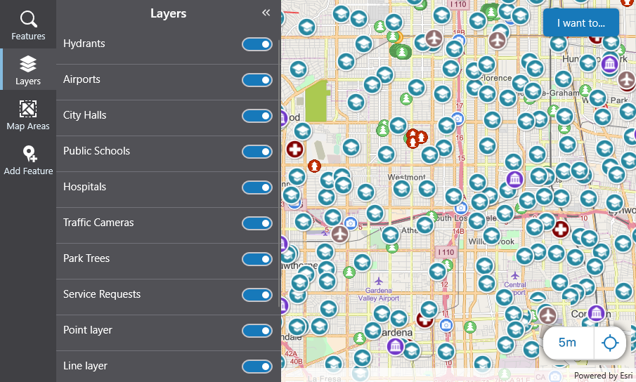
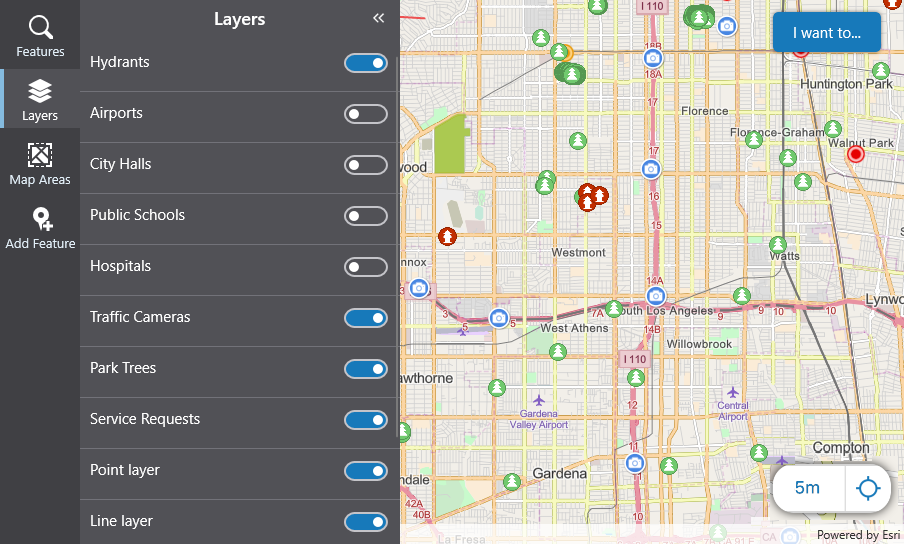
If you are using a complex map with many layers, you are likely to need to turn some layers on and others off, so that you can focus on a particular set of features.
To turn layer on or off:
-
In the taskbar of the Mobile app, click Layers.
The Layers panel displays a list of all the layers in the map with switches beside each one.
-
To turn a layer off, click the switch on that layer.
The symbols for all those features disappear from the map.
Rotate, Pan and Zoom the Map
On Mobile apps, you can use any of the standard gestures for rotating, panning, and zooming the map.
To pan:
-
On touchscreen devices, drag your finger on the map to pan it.

- On non-touch devices, click and drag the cursor on the map to pan.
To zoom:
-
On touchscreen devices, pinch the map with 2 fingers (often thumb and index finger) to zoom in.

Spread your fingers apart to zoom out.

-
On non-touch devices, use the scroll wheel on your mouse to zoom in and out.
To Rotate:
-
On touchscreen devices, place 2 fingers on the map and rotate them to rotate the map.

-
On non-touch devices, there is no available rotate command.
Use the I Want To Menu
Mobile apps can be configured to use the I Want To menu in multiple ways.
Your administrator can add commands to this menu to trigger many different actions in your Mobile app, for example, to refresh the map, return to the default view of the map and many others. These custom options can also be workflows that will open a form, or run a query on a particular layer.