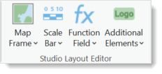
The Studio Layout Editor section contains the following tools:
Map Frame
The Map Frame tool allows for adding various maps to your template.
•Main Map: Every template requires a main map frame. Click the Main Map icon and draw the shape on the template. Use the corner and side controls to resize the map frame. Once a main map has been added, the icon will be grayed out. On the layout, the Main Map frame is labelled WEBMAP_MAP_FRAME.
•Overview Map: After adding an Overview Map frame, the icon will be grayed out. On the layout, the Overview Map frame is labelled OVERVIEW.
•Add Custom Map Frame: You can add as many Custom Map frames as you like. On the layout, the Main Map frame is labelled Map Frame.
Scale Bar
A scale bar correlates print distances to map (real world) distances. There are three types of scale bars that can be added to a layout:
•Custom: Configured to be used for a specific scale. Properties set in ArcGIS Pro regarding marks, labels, frequency, etc. are respected.
•Horizontal: Configured to be used for an arbitrary scale. Properties set in ArcGIS Pro regarding marks, labels, frequency, etc. are ignored.
•Vertical: Configured to be used for an arbitrary scale. Properties set in ArcGIS Pro regarding marks, labels, frequency, etc. are ignored.
To add a scale bar, select the type and click and drag an area on the template.
Once a Custom scale bar has been added to a layout, double-click the scale bar to open the Element window for configuration changes.
Function Field
The function fields are layout fields recognizable from Web Office with a few extra functions added such as Time Series Start, Time Series End, and Time Series Start End.
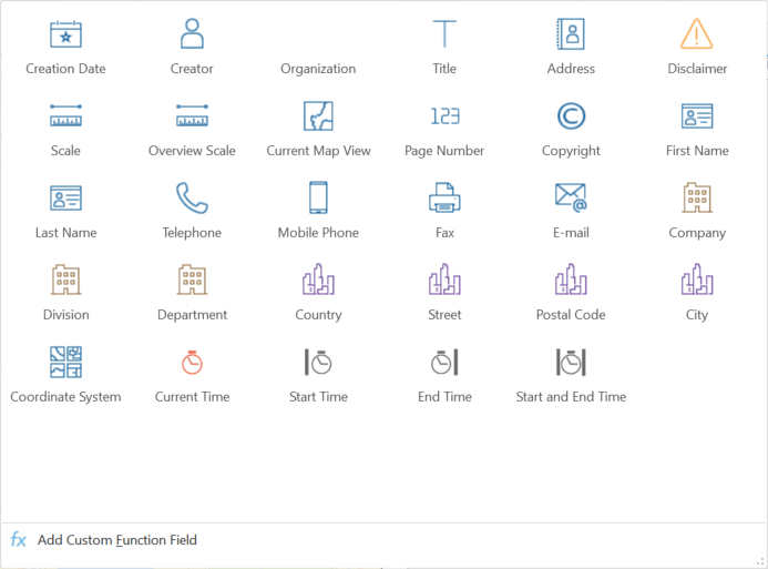
There are three types of layout fields: Text, Time, and Function fields. When a layout field is added to a layout, it will also appear in the Studio Printing > Layout window.
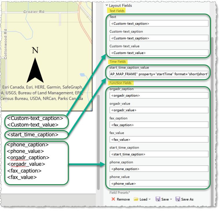
The function fields are typically a value field and may also have an associated caption field. You can click and drag any caption or value field to reposition it on the layout. You can also double-click the field to open the Element window for configuration changes.
Additional Elements
Additional Elements include graphical elements such as logos and map legends that can be added to the layout. You can also add an image placeholder.
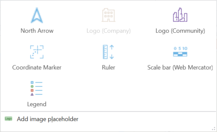
The full list of Additional Elements include:
•North Arrow: Creates a logo for the North Arrow.
•Logo (Company): Creates a image element called company_logo.
•Logo (Community): Creates a image element called community_logo.
•Coordinate Marker: Creates a image element called syn_coord_marker.
•Ruler: Creates a image element for a ruler called syn_scalebar.
•Scale Bar (Web Mercator): Creates a image element for a scale bar called syn_client_scalebar.
•Legend: Creates a image element for a legend called syn_legend.
•Add image placeholder: Creates a image element with a user-assigned name.
Adding an element to the layout will be seen in Contents > Drawing Order. Each element listed above can be double-clicked in the Contents pane to open its Element window. Here, you can change the element's attributes.