The Edit toolbar in Studio Desktop Toolkit is used to create, modify, and manage dimension and construction features.
Dimension features represent measured distances or geometries displayed on the map, while construction features serve as supporting geometry used to build or reference dimensions.
You can perform editing actions through either the Dimension Editor or the ArcGIS Pro Create Features dialog. Both interfaces are fully synchronized, so any change made in one (such as updating the active template or map scale) is automatically reflected in the other.
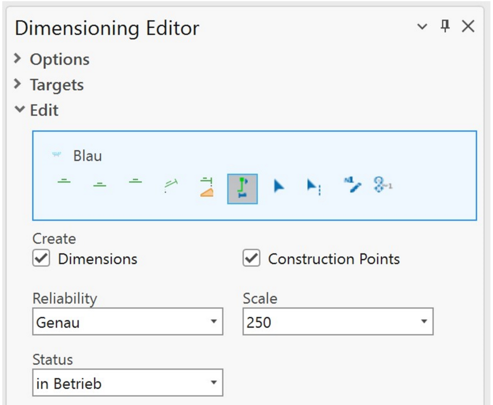
Dimension Editor
The table below describes the Dimensioning Editor settings.
Setting |
Description |
|---|---|
Create |
Select the feature class you want to create. |
Reliability |
Use this setting to indicate how precise a measurement is. If a dimension is marked as imprecise, a tilde (~) appears before the value on the map. |
Scale |
Select the map scale at which annotation and dimension labels should appear. All available scales for your project are listed in the drop-down. |
Status |
Assign a status to a dimension or construction feature if your project uses this parameter. When enabled, a Status field appears in the dialog. The possible values are defined by a database domain. |
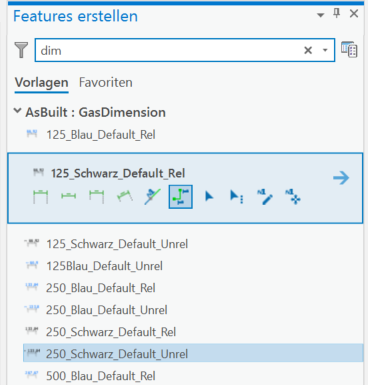
Create Features